We first talked about the possibility of visiting Tangier Island by sailboat several years ago, but I didn’t think we’d actually get around to it any time soon. So when we decided that we had run out of time to spend the summers in New England and would instead explore the Chesapeake Bay, we knew this was our opportunity.
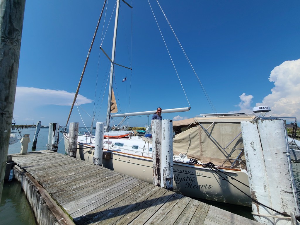
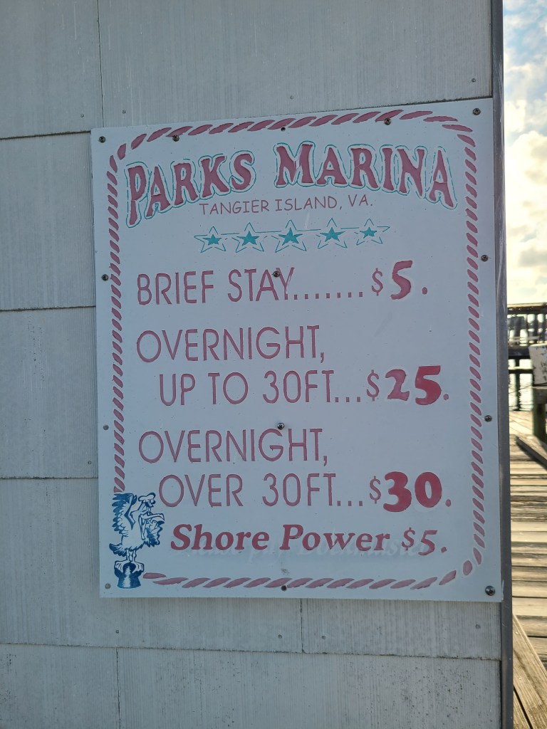
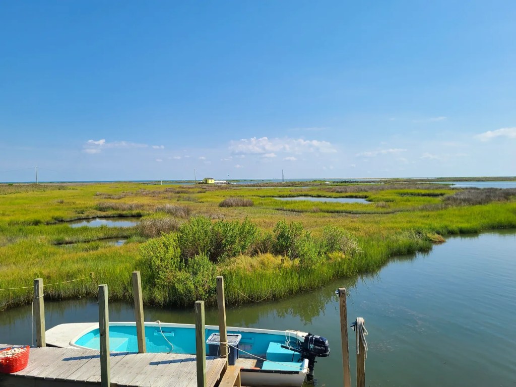
The winds were favorable and the weather forecast looked great, so we made the 21.4 nautical mile hop from Little Bay to Tangier. We considered anchoring on the east side of the island if there was no space at Parks Marina, but luckily for us, there was one spot left on the dock and we were able to pull in without any difficulty. The current runs strong through here, as we witnessed with a power boat attempting to back in to a slip further down at the marina. (The following day after leaving Tangier we heard a boater on the radio say they “hit ground hard” pulling in to a slip. Boats with deeper keels should be aware that not all slips can accommodate their depth.)
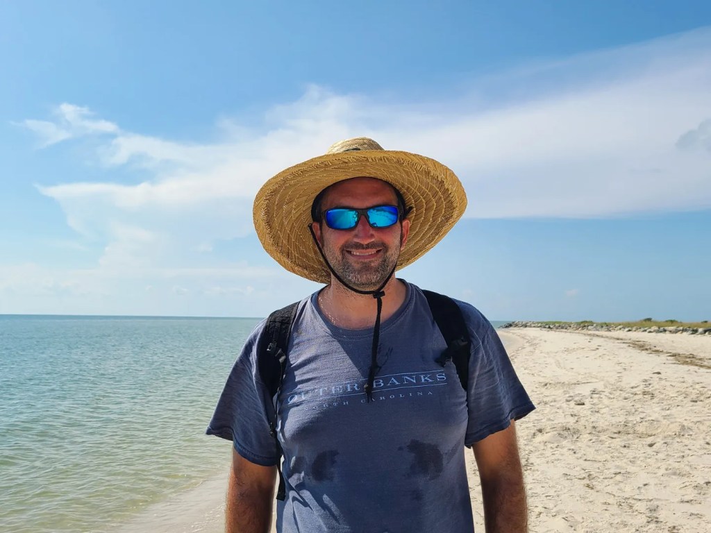
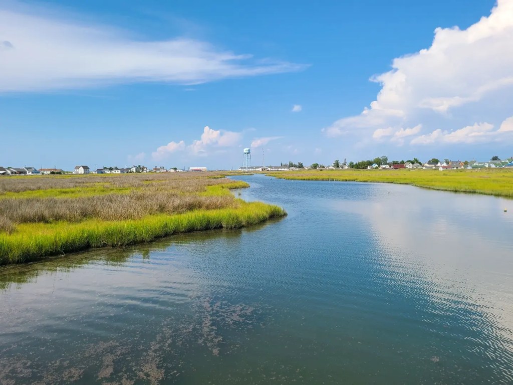
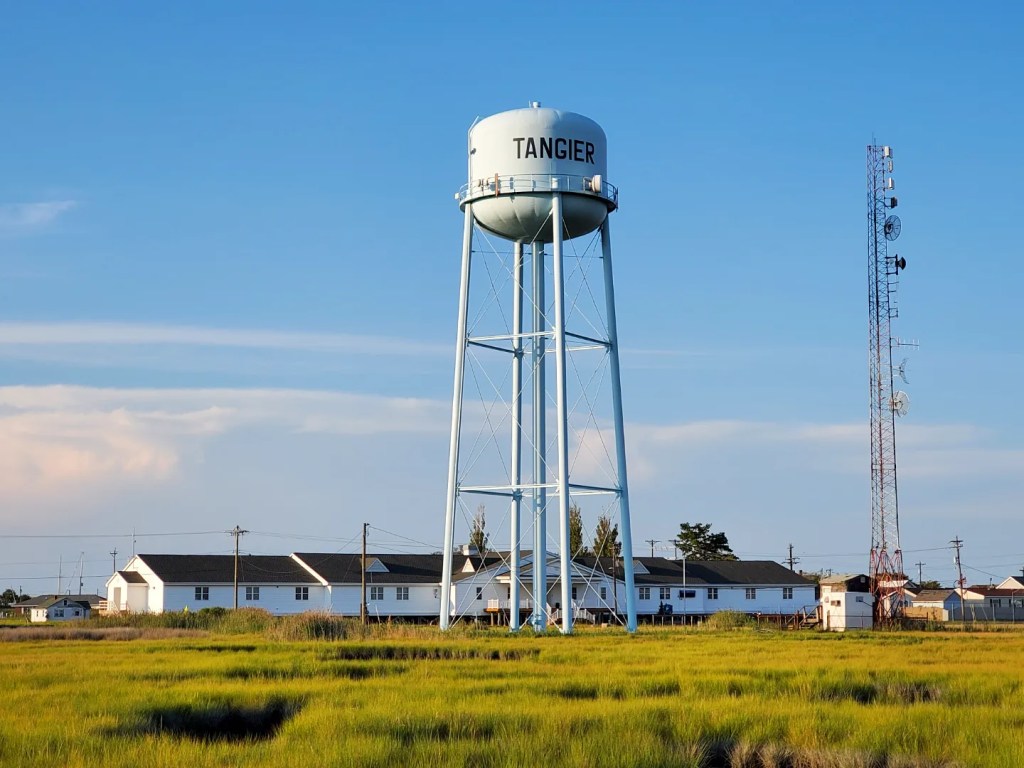
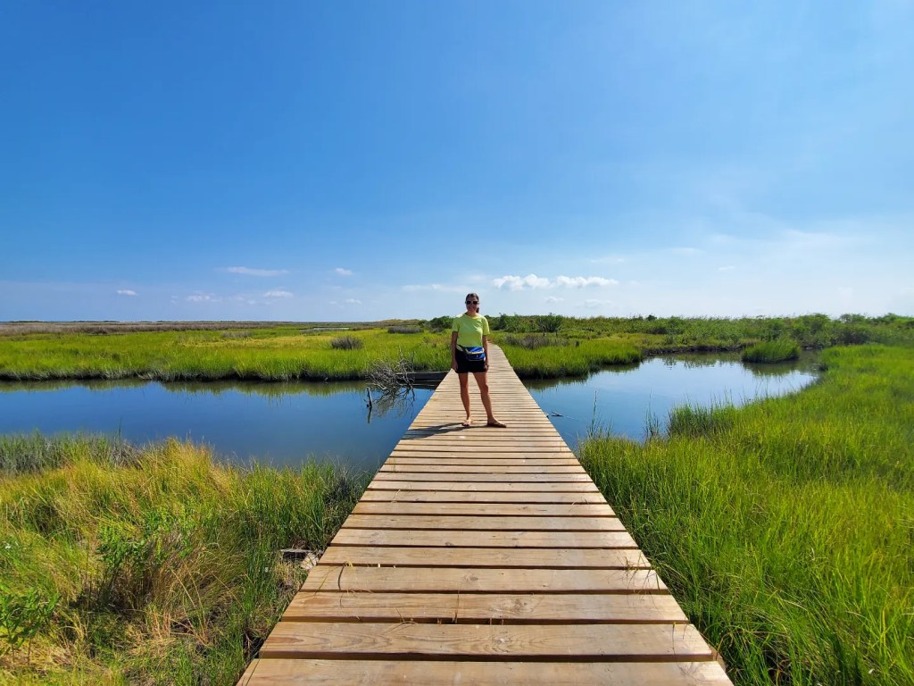
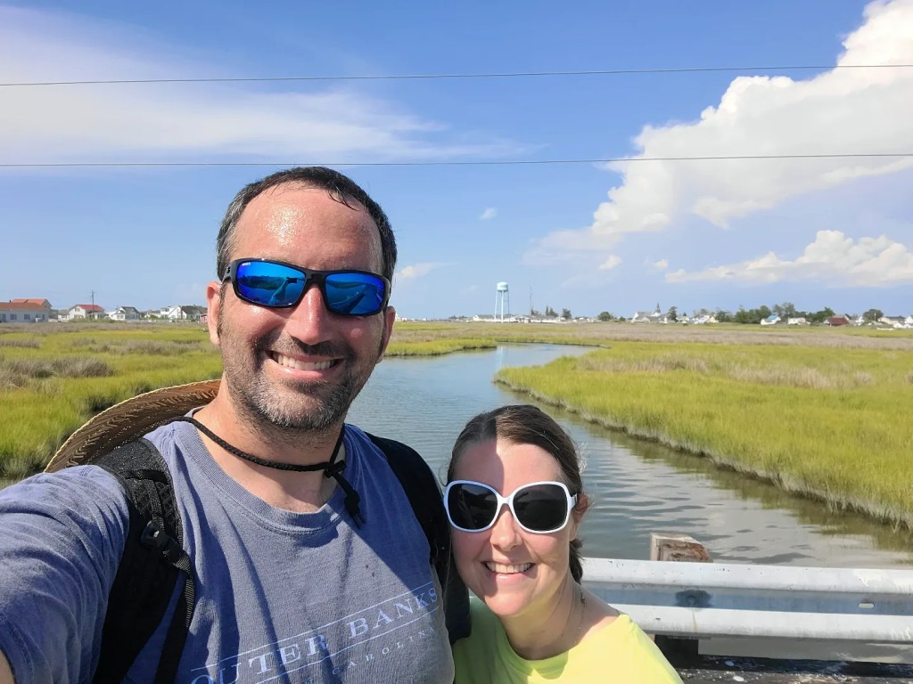
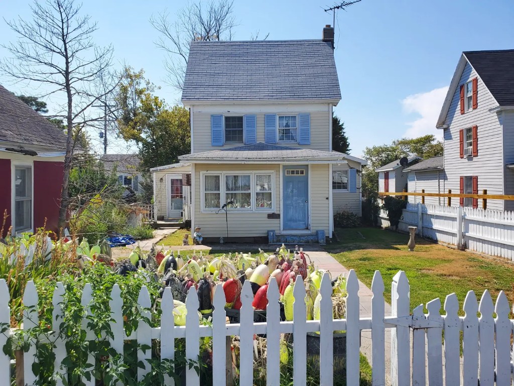
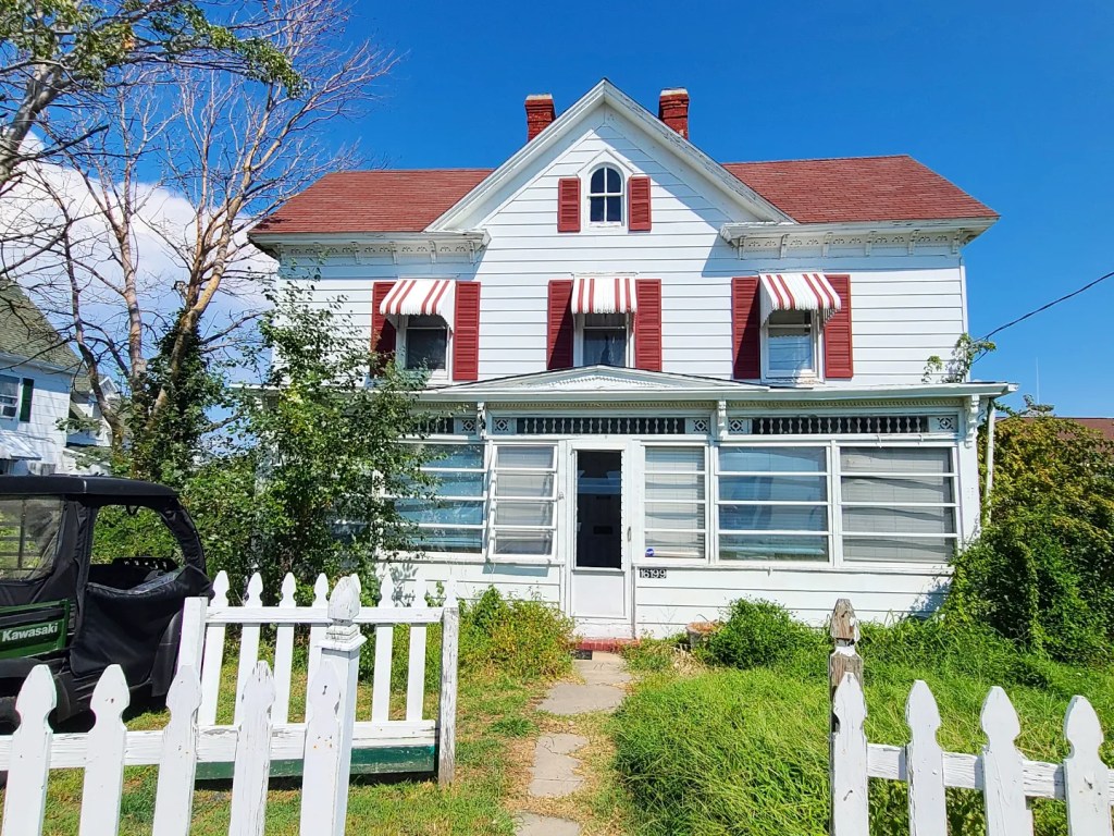
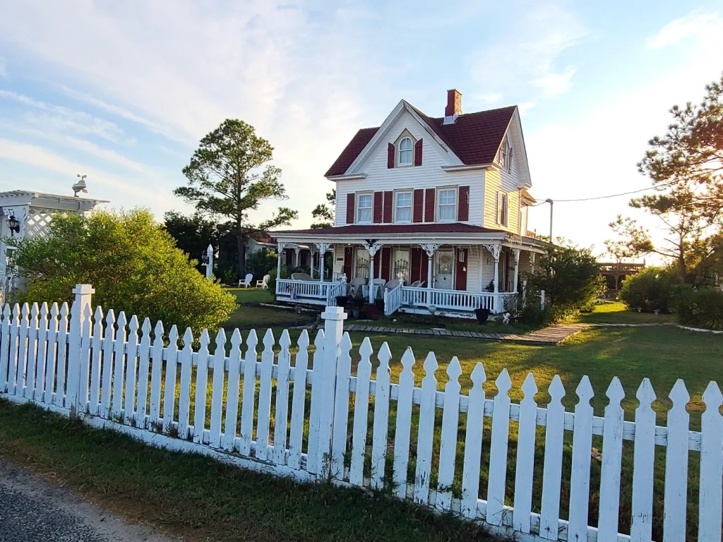
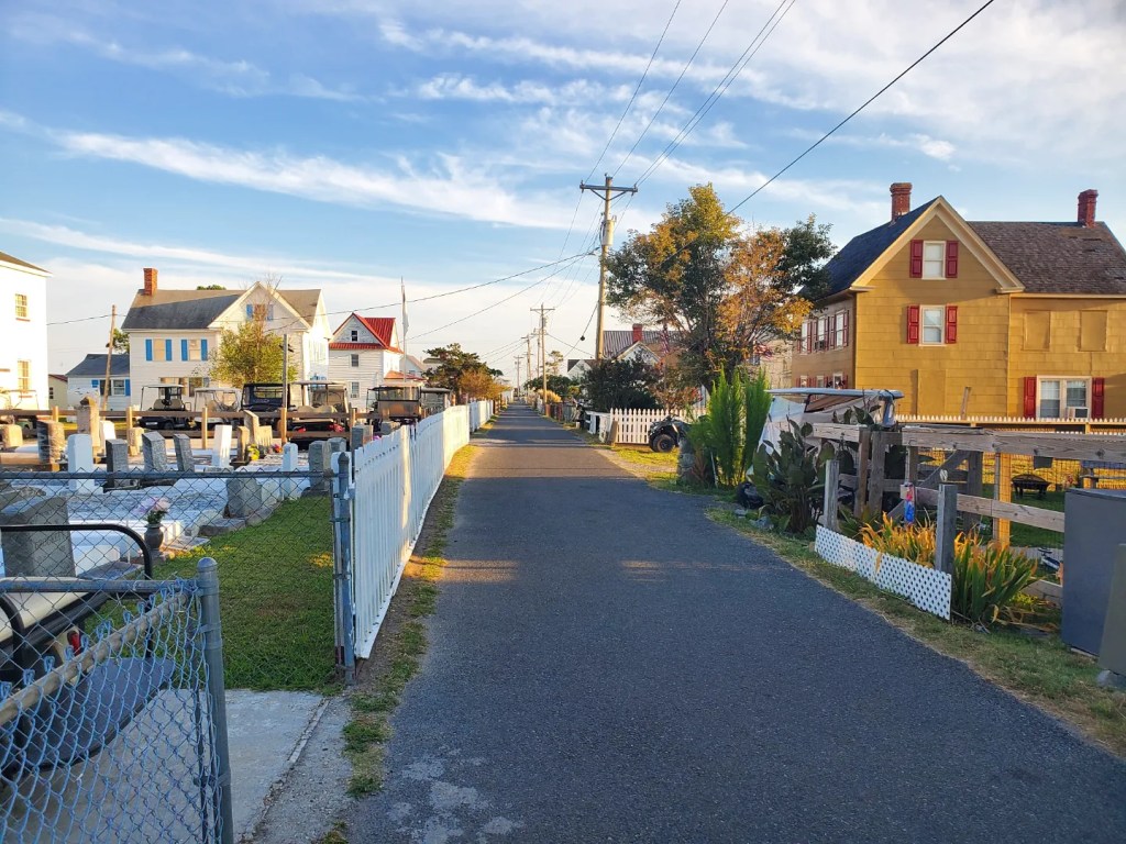
After settling in, we took off to explore the island on foot. The primary activity on the island is centered around Main Ridge Road, which runs through the middle. Two other ridges (Canton Ridge on the eastern side and West Ridge on the western side) have the remaining homes on the island. The ridges are the highest elevation on Tangier, which is why the homes and businesses are all dotted along them. From Parks Marina, we walked the approximate one mile path down Main Ridge Road, cut across Factory Road, and toward the public beach on the southwestern side of the island. Beautiful views of the Chesapeake Bay can be seen here from its soft, sandy shore. On the way back, we walked up West Ridge Road, which is mostly residential and full of marshes. Not only is Tangier an island, but there is an abundance of water throughout it, so multiple bridges connect each ridge for golf cart access. Homes are old, quaint, and full of Chesapeake Bay charm. With only about two hours of walking, we completely explored the island on foot. As small as it is, it’s hard to imagine that in the past few decades, it’s already lost two thirds of its land mass due to rising sea levels.
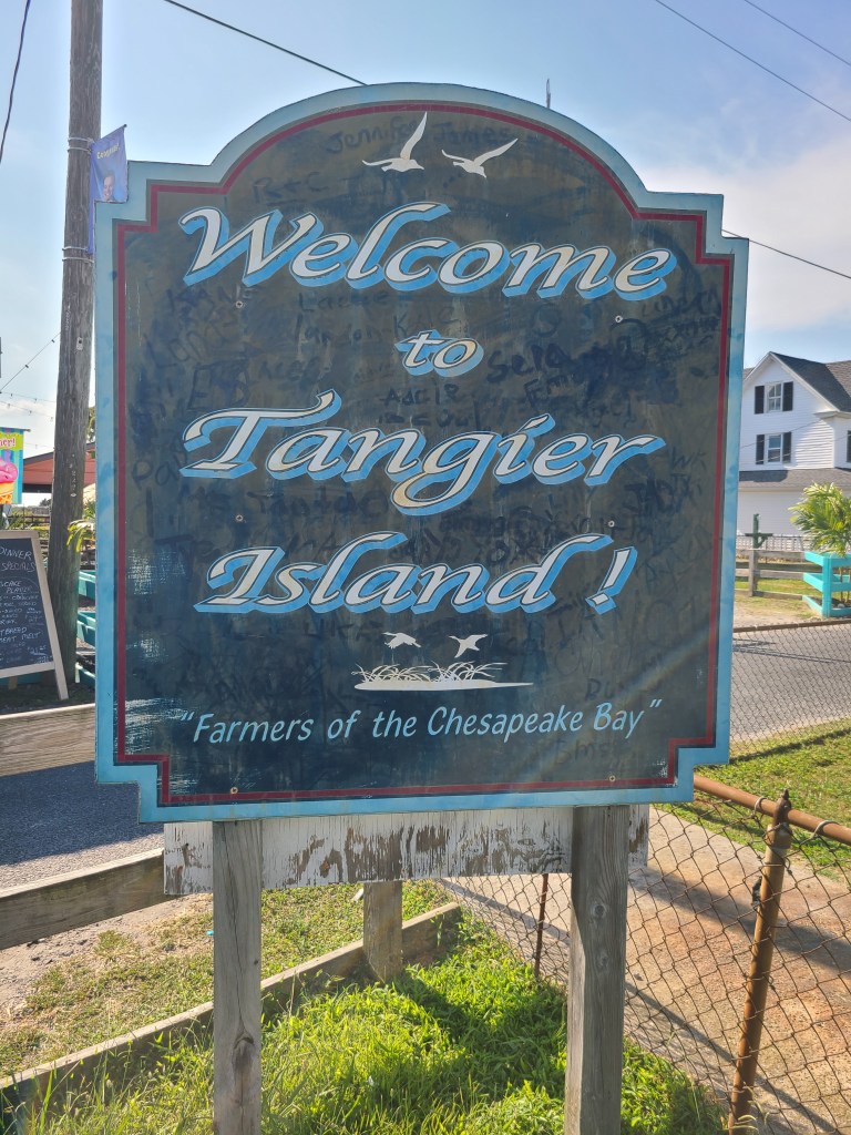
Interestingly, we learned/observed the following about Tangier: Native Americans first visited thousands of years ago; explorer John Smith ‘discovered’ it in 1608; it was permanently settled in the late 1600’s; it is a dry island (alcohol is not sold or served here); roads are generally very narrow (there are very few cars, most everyone uses a golf cart for transportation); graves are frequently found in front yards; the locals speak an old dialect of English that sounds British; the few shops and restaurants close when the ferries depart the island at the end of the afternoon; and perhaps most fascinating, in the next few decades, Tangier Island will be claimed by the sea due to the effects of climate change.
If you’re keen to explore Tangier Island, do it sooner rather than later. Some estimates guess that by 2050 the island won’t exist. Some of the ridges will be lost sooner than others as the sea rises and people will have to relocate to the mainland. It’s sad that the very way of life here that has existed for centuries won’t last for more than another generation. The island is beautiful and picturesque in a way that shows how unique the Chesapeake Bay is.
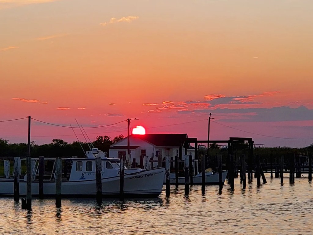
The morning after we watched an incredible orange sunset from the bow, we were woken up around 5 AM by the sound of fishing boats. The crab shanties that line Tangier’s North Channel were buzzing with activity as fishermen prepared for another long day on the water. Despite waking up groggy, I’m glad we were able to be here to experience this special place.

Leave a comment